“There could be some snow on those mountain tops, especially the highest of the high elevations for the areas to the south,” he said.
A second round of rainfall arrives Friday morning as a weak surface cold front extends from southern Oregon through the region. The storm will likely drop just as much rain as the first system.
By Sunday morning, forecasters expect a third storm to park over the Bay Area. Meteorologists said it is too early to tell how the storm will play out, but they expect multiple rounds of impactful rainfall, especially across the North Bay.
“We’re looking at a pretty wet environment into next week; maybe our first real break will be next Wednesday,” Murdock said.
During the first round of rain, Murdock expects only nuisance flooding. But as back-to-back storms hit, the flood risk may grow into next week, he said, “especially in urban environments — if there’s not enough of a break in between, it’s harder to drain that water out of those areas.”
Potential for the snowpack to rebound
-------------------------------------
Forecasters expect the first storm to drop up to 4 feet of snow at the highest peaks of the Sierra starting Wednesday. By Thursday morning, the snow line could drop to 2,000 feet as the system progresses.
A winter storm watch is in effect for much of the mountain region from 10 p.m. Tuesday through 10 p.m. Thursday.

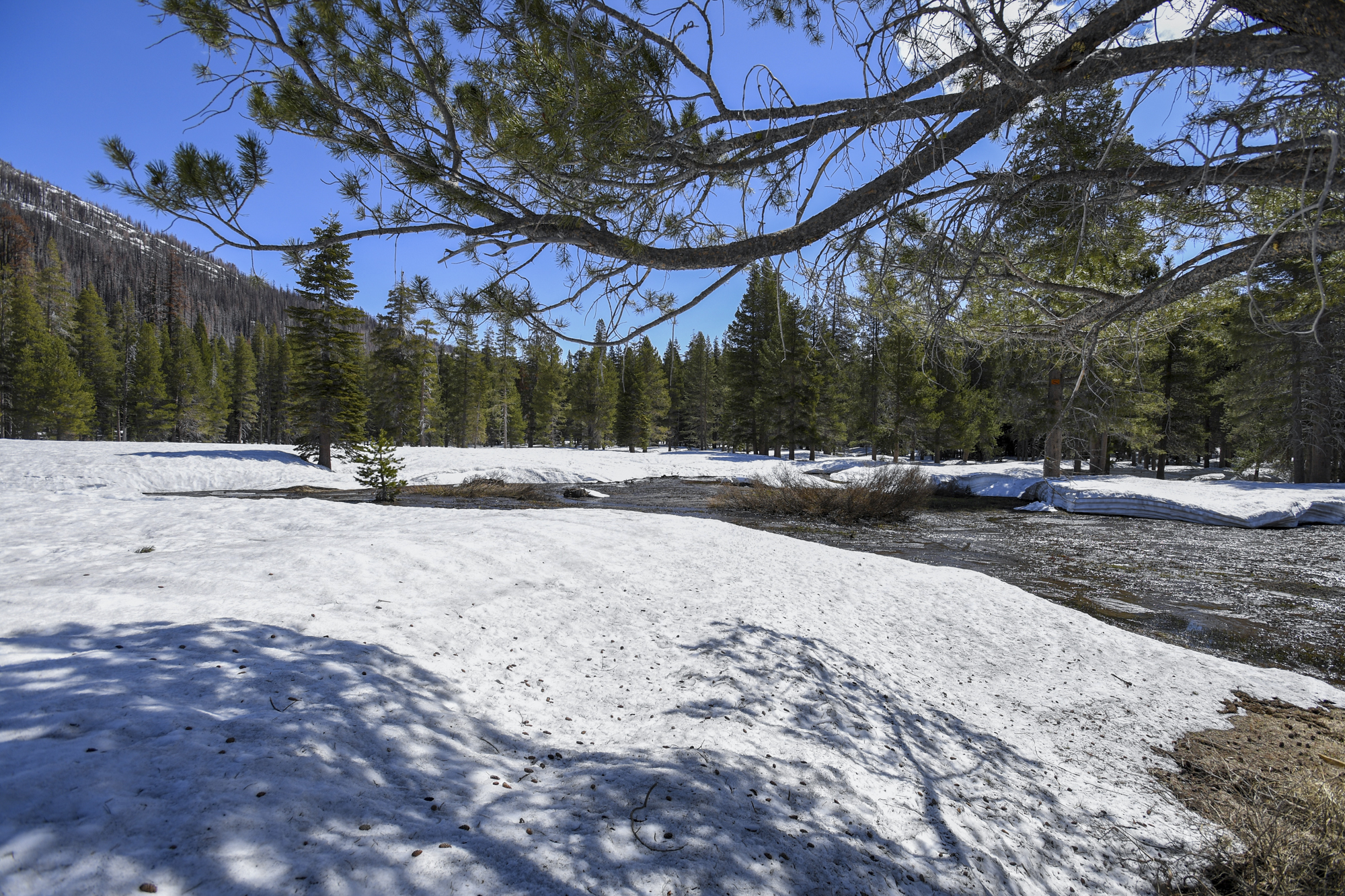
Snow runoff near the California Department of Water Resources snow survey site at Phillips Station in the Sierra Nevada Mountains on May 1, 2023. (Ken James/California Department of Water Resources)
“It’s an above-average snow event, but nothing historic for the Sierra,” said Dakari Anderson, a meteorologist with the weather service’s Sacramento office.
Snowfall in the Sierra on Wednesday will be thick, Anderson said, with up to 70% of rates exceeding 2 inches per hour. He also said the heavy snowfall and gusty winds of up to 60 miles per hour may likely create significant visibility issues and whiteout conditions.
Travel impacts are expected Wednesday into Thursday, and people [driving to Lake Tahoe](https://www.kqed.org/news/11937204/lake-tahoe-weather-forecast-road-conditions-snow-chains) on Interstate 80 or Highway 50 could experience delays and chain controls.
“We expect snow-covered and slippery roads,” said Anderson. “The snow will be heaviest in the afternoon commute hours.”